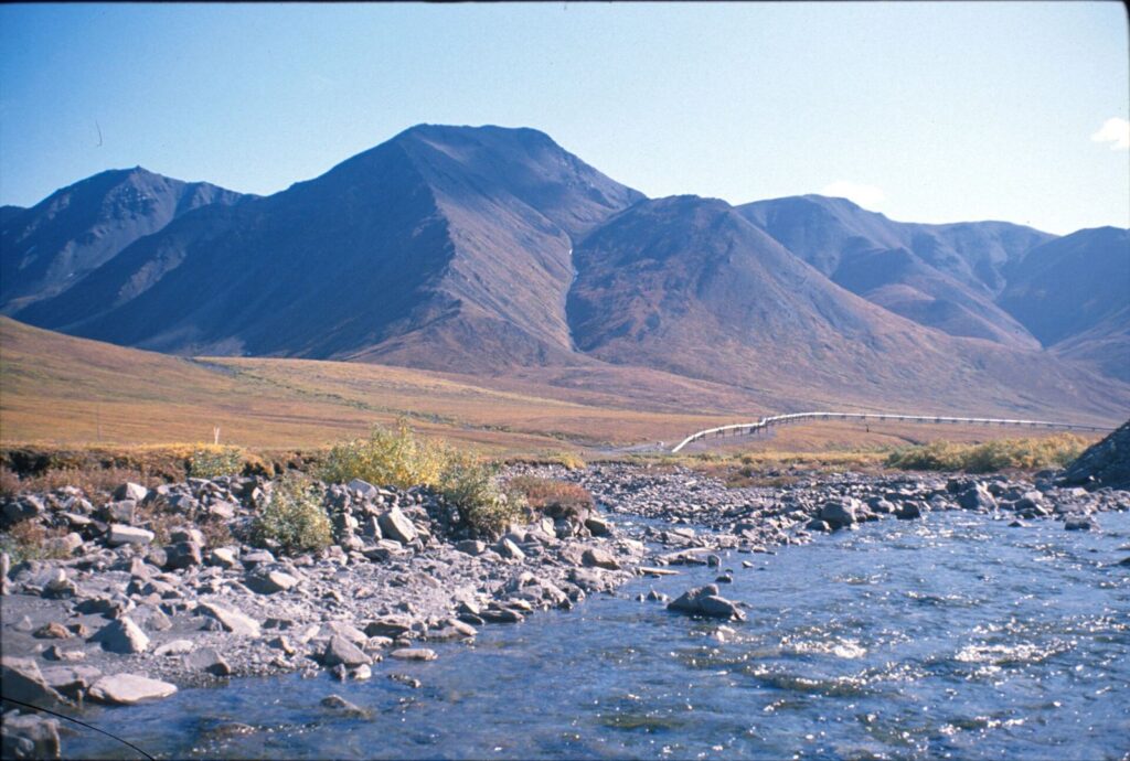
The James W. Dalton Highway is the only road in Alaska that crosses the Arctic Circle. It was built in 1974 to supply the Trans-Alaska Pipeline, and it runs 414 miles from Livengood, north of Fairbanks, over the Brooks Range at Atigun Pass to Deadhorse at Prudhoe Bay. It’s remote, rough in places, and unforgettable.
Disclosure: this page contains affiliate links, marked with /go/. If you book or buy through them, we may earn a commission at no extra cost to you. Read our affiliate disclosure.
Key distances and services
From the Bureau of Land Management, which manages much of the corridor:
- The Dalton begins at the Elliott Highway junction near Livengood, about 84 miles north of Fairbanks.
- Yukon River Crossing (MP 56): the bridge over the Yukon, with seasonal services.
- Five Mile (MP 60): BLM campground with potable water and the corridor’s only RV dump station.
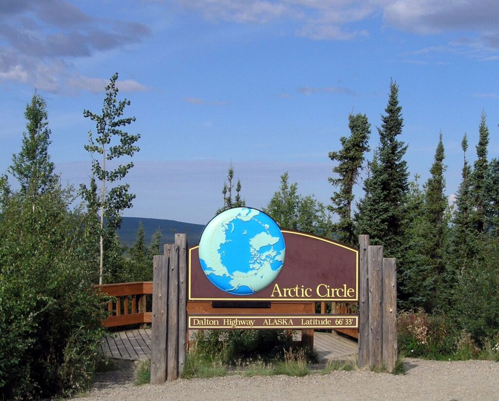
- Arctic Circle Wayside (MP 115): the famous sign, interpretive displays, and a primitive BLM campground with no water.
- Coldfoot (MP 175): about 260 miles and 6–8 hours from Fairbanks. It has fuel, food, lodging, and tire repair, plus the seasonal Arctic Interagency Visitor Center (open in summer).
- Wiseman (near MP 189): a small historic community with seasonal lodging.
- Atigun Pass (around MP 244): the highest pass in Alaska’s road system, crossing the Continental Divide in the Brooks Range.
- Deadhorse (MP 414): an industrial camp. The Arctic Ocean shoreline is on restricted oil-field land and can only be reached on an authorized tour.
Between Coldfoot and Deadhorse there’s a stretch of roughly 240 miles with no services at all.
Driving it yourself
- Rental cars: most mainstream rental agreements prohibit the Dalton. A few Fairbanks companies rent vehicles specifically equipped for it. Read your contract.
- Tires: the BLM recommends at least one full-size spare (two is better), plus tools to change it. Flying gravel breaks windshields and headlights, and commercial trucks have the right of way. Slow down and pull over for them.
- Fuel and supplies: top up wherever you can. Carry water, food, warm clothes, a first-aid kit, and emergency gear even in summer.
- Road conditions: check Alaska 511 before and during the trip. Sections are paved, and others are gravel that can turn to deep mud or dust.
- Communication: cell coverage is nearly nonexistent outside a few service points. A satellite phone or satellite messenger is cheap insurance for breakdowns, wildlife collisions, or medical emergencies. Fairbanks Sat Phone covers satellite phone options for Dalton Highway and backcountry trips.
- Pick up the BLM’s free Dalton Highway visitor guide and get a copy of The Milepost for mile-by-mile details.
Book a tour (affiliate) Arctic Circle tours from Fairbanks on GetYourGuide
Affiliate widget: we may earn a commission if you book, at no extra cost to you. Tours, prices and ratings are shown by GetYourGuide and are not AK Adventure reviews. About our affiliate links.
Guided tours
If you’d rather not risk your own vehicle, Fairbanks tour companies offer van trips to the Arctic Circle and back in one (very long) day. Many add flights back from Coldfoot, overnight trips to Wiseman, or flights to the Brooks Range and Arctic coast. As one example, Northern Alaska Tour Company listed its 2026 summer Arctic Circle drive from Fairbanks at roughly $229–$269 per person depending on date, with a departure around 6:30 a.m. and a late-night return. Winter aurora versions are also offered. Compare Arctic Circle tours from Fairbanks.
What you’ll see
- The Trans-Alaska Pipeline zig-zagging beside the road.
- Boreal forest giving way to tundra north of the Brooks Range. Wildlife includes caribou, moose, Dall sheep, muskox near the North Slope, and the occasional grizzly.
- Gates of the Arctic National Park and the Arctic National Wildlife Refuge border the corridor, though neither has roads.
- Midnight sun: north of the Arctic Circle, the sun doesn’t set around the June solstice.
Camping
The BLM operates the campgrounds at Five Mile, the Arctic Circle, and Marion Creek (near Coldfoot), plus Galbraith Lake farther north. Facilities are basic and the season is short. There’s dispersed camping on BLM land, but follow the BLM’s rules and keep a bear-safe camp.